
Scientific record and photographs, 2009–2025
NATURAL RESOURCES
By Noel C. Ayoc
Mt. Hibabagwan, Pagang-pagang Cave, cave-dwelling bats, and insect species recorded from Mahaplag.
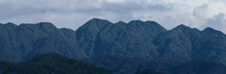
Mt. Hibabagwan
Mt. Hibabagwan, locally recognized as the highest peak of the Mount Nacolod range in Mahaplag, Leyte, occupies a central place in the municipality’s environmental landscape. Located in the southeastern part of the municipality, it cradles Mahaplag as it rises prominently above the settlements functioning both as a geographical landmark and an ecological shield. Across seasonal cycles—from the southwest monsoon to prolonged dry periods—the mountain’s forest cover has moderated climatic extremes, particularly by reducing the direct impact of strong winds and heavy rainfall associated with tropical disturbances.
Mt. Hibabagwan stands not only as a protective barrier but also as a silent witness to the community’s enduring exposure and adaptation to powerful typhoons that shape both the physical terrain and the lived experiences of its people.
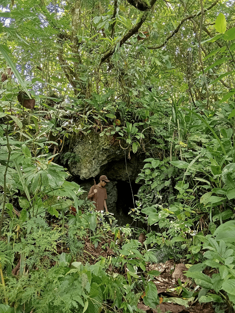
Pagang-pagang Cave, Brgy. Paril
Pagang-pagang cave is a limestone cavern situated in a lowland mixed agro ecosystem. It is approximately 800 meters– 1000 meters from the highway accessible through footpaths or trails made by the residents (Tulin et al., 2014). The cave is composed of six cave mouths and five of which were sinkholes located at the roof of the cave. However, the main cave mouth which serves as entrance point for cave visitors was facing South 400 East with an elevation of about 102 masl and geographic coordinates of 100 37’ 58” North and 1240 56’ 52” East. Elevation of the cave ranged from 106 masl-122 masl. Vegetation cover like coconuts, Musa spp., Ficus spp. and other shrubs which surrounded the cave was about 70% in view of other ground surface materials like exposed rocks.
Tulin et al., 2014 studied that Pagang-pagang Cave is home to a diverse assemblage of bat species that contribute significantly to local ecosystem functioning. The survey recorded two fruit bat species, Rousettus amplexicaudatus and Ptenochirus jagori, alongside three insectivorous bat species: Rhinolophus arcuatus, Hipposideros diadema, and Myotis macrotarsus (classified as Near Threatened). These species highlight the ecological importance of the cave as a critical habitat supporting both fruit-eating and insect-controlling bat populations in Mahaplag.
Insect Species
Bellamy and Ohmomo (2009) described three new species of Coraebini (Coleoptera: Buprestidae: Agrilinae, subtribes Coraebina and Toxoscelina) from Mahaplag Leyte: the tenth species of Coraebosoma Obenberger, 1923: C. viridis; the second species of Lumawigia Bellamy, 2005: L. leytensis; and the third species of Philippscelus Bellamy, 1998: P. gracilis.
Bellamy, C.L. & Ohmomo, S. (2009) Three new species of Coraebini Bedel, 1921 (Coleoptera: Buprestidae: Agrilinae) from the Leyte Island, Philippines. Zootaxa, 2292 (1), 57–64. https://doi.org/10.11646/zootaxa.2292.1.6